
Why it closes gaps
Buyers stop asking 'where does it end?'
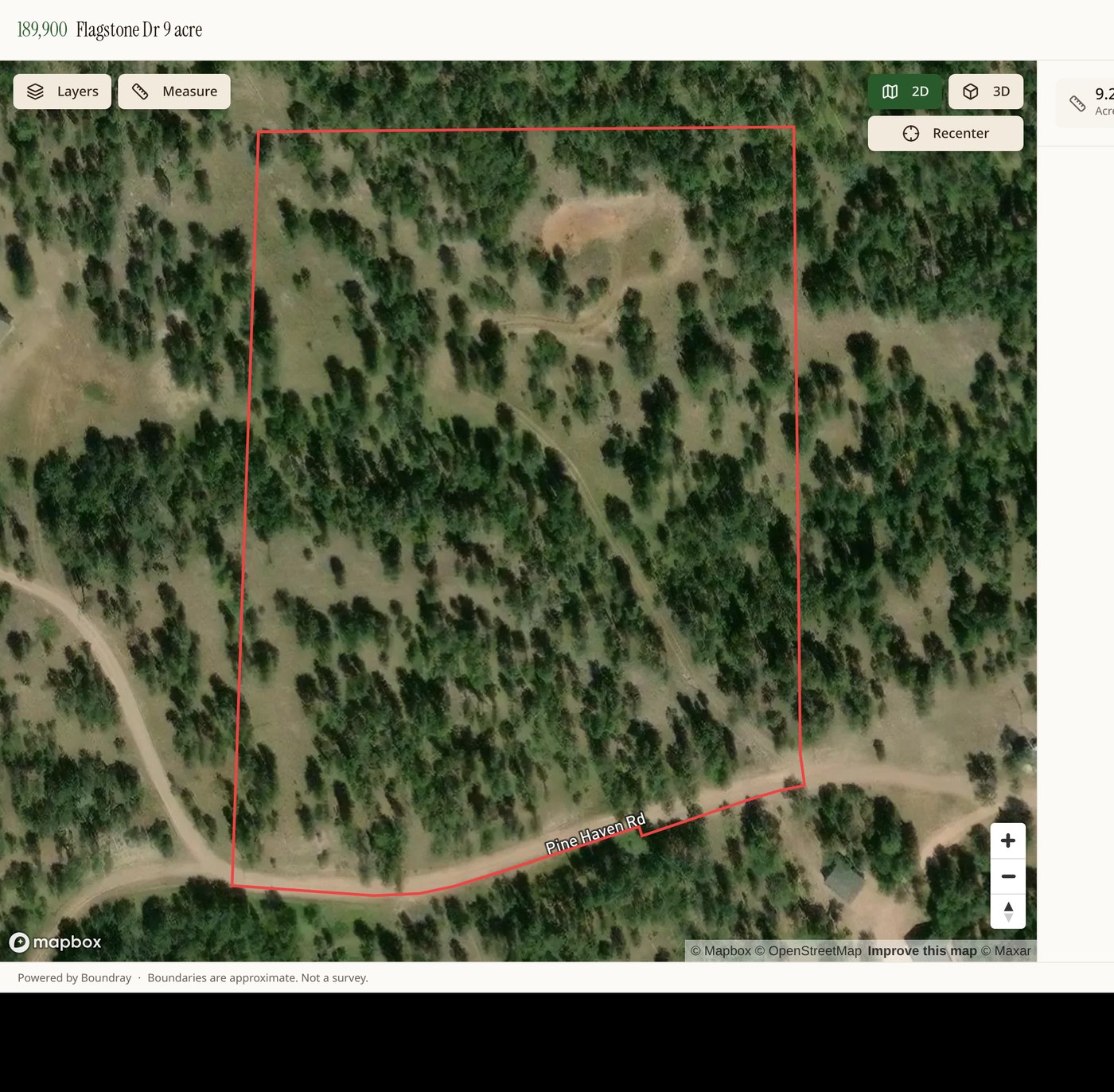
The boundary is drawn on the map, on the photos, and in the 3D view. Acreage, frontage, and distances are one tap away.
Built for land, not houses
Parcel owners, USFS land, FEMA flood, contours and soils are toggles, not a separate research project.
Lives on your site
Copy an embed snippet into your listing page, or send a clean standalone link for socials and email.
Add real aerials when you want them
Request a shoot from a local Boundray pilot and the finished, boundary-marked photos drop into the same project.
Five steps to a listing map
- Search the address or drop a pin.
- Click the parcel. The boundary and acreage load from county GIS.
- Turn on the overlays that matter to this buyer.
- Label access, water, building sites, and features.
- Publish, then paste the embed code into your listing.
Boundaries come from public county GIS and are for marketing and orientation only. They are not a survey, and every published page says so.