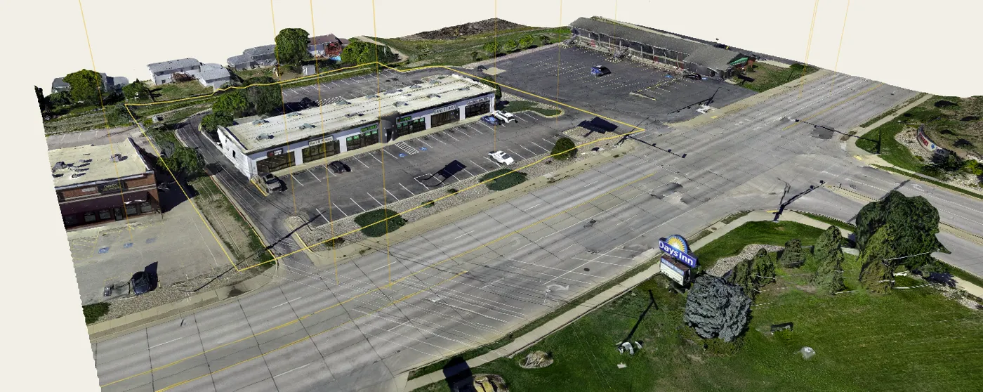
This is a real Boundray project. Spin it.
Drag to orbit the model. Everything here came out of one drone flight.
You probably already own the drone.
Boundray works with ordinary geotagged drone photos. No $10,000 mapping aircraft required.
DJI Mini · Air · Mavic · Matrice · other GPS-equipped cameras
Accuracy depends on aircraft and how you fly.
Plan missions with the drone you have.
Boundray plans 3D, ortho, corridor, and facade missions for the Mini 5 Pro and similar advanced consumer drones. No need to spend $10k+ on an enterprise aircraft to fly advanced captures.
How it works
- 01
Upload the flight.
Photos from almost any modern drone, straight from the card or your phone.
- 02
Boundray builds the property.
Parcel boundary from official data, a 3D model, your photos, and measurements.
- 03
Refine lot lines, add markups.
Adjust boundaries, annotate photos, and lock in the details that matter.
- 04
Send one link.
Your client explores everything from their phone.
What your client gets
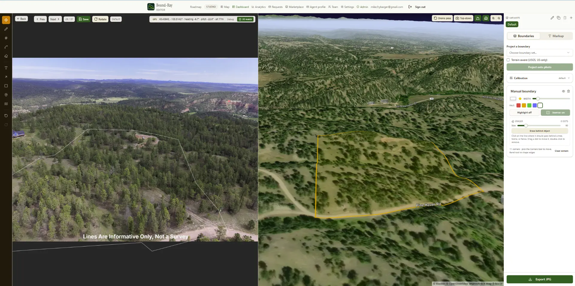
Boundary-marked photos
Enhanced, originals preserved, MLS-ready.
A 3D model with a cinematic tour
Export vertical video for reels; add your voiceover.
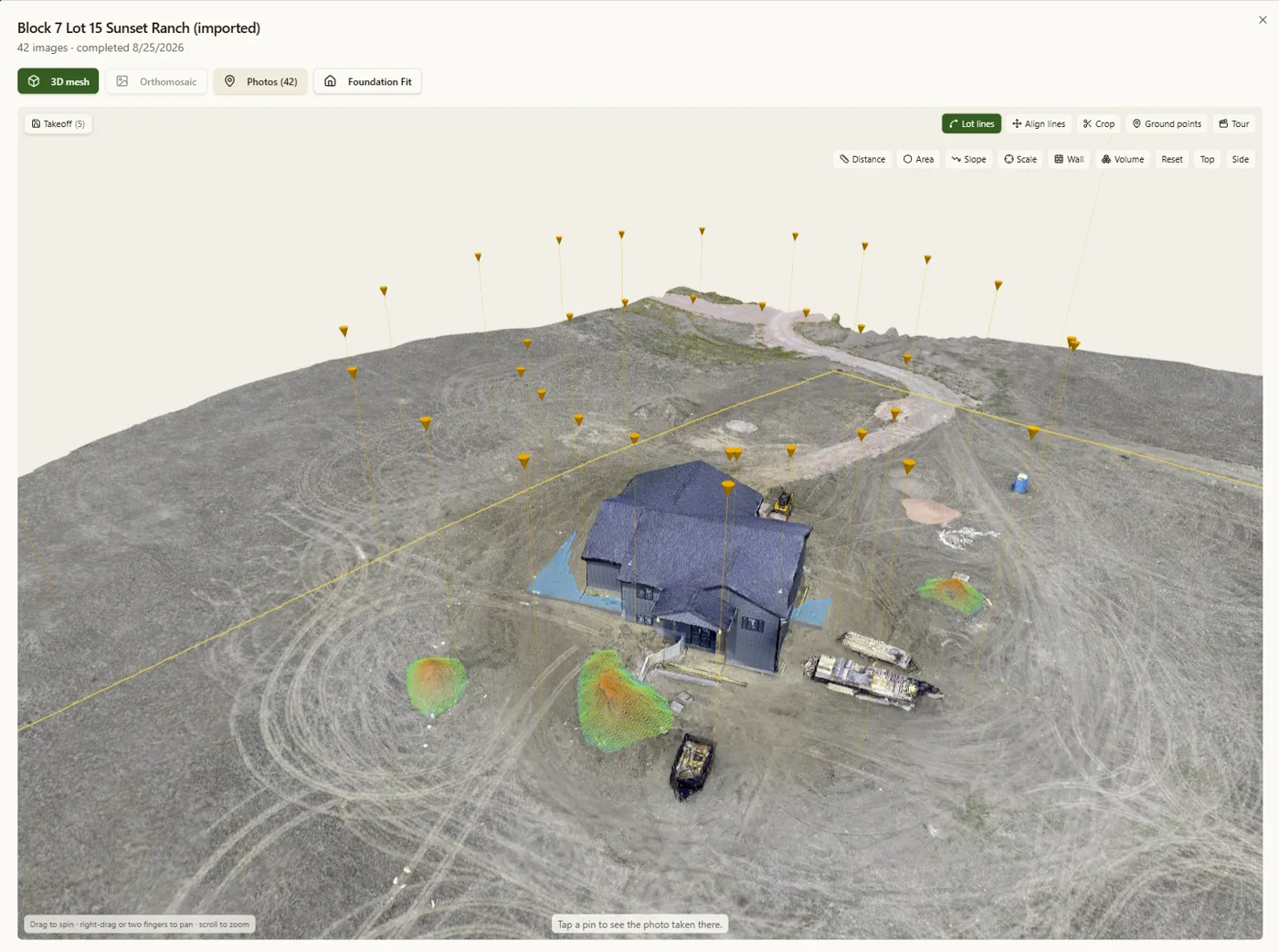
Measurements and takeoffs
Distance, area, slope, and volume in one branded PDF.
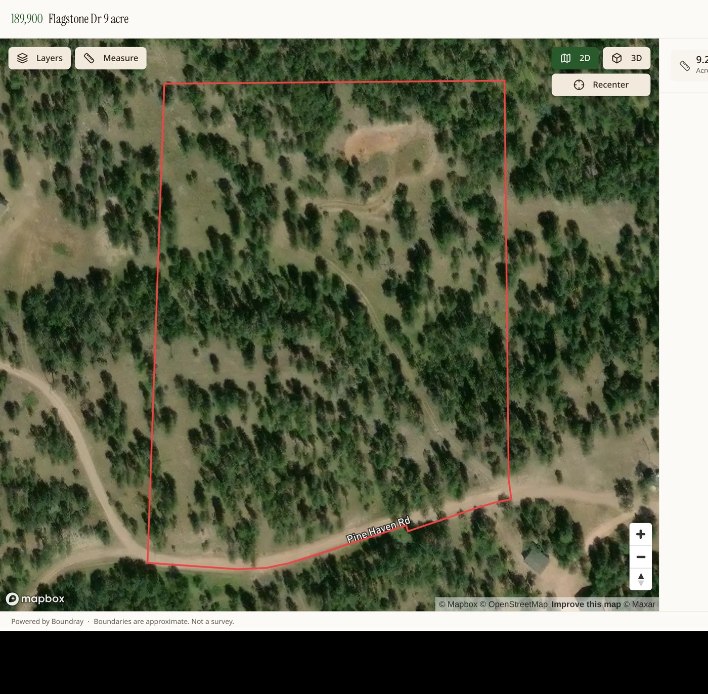
The share page
Your branding, client comments, works on any phone.
Built for anyone who has to explain a piece of ground.
If your client needs to understand a property before standing on it, Boundray helps.
- Drone pilots
- Real estate
- Construction & development
- Land & inspection