
Examples

Live projects, not mockups.

These are published Boundray projects, the same pages an operator would hand a client. Open one, toggle the layers, measure the frontage, and explore the 3D model.
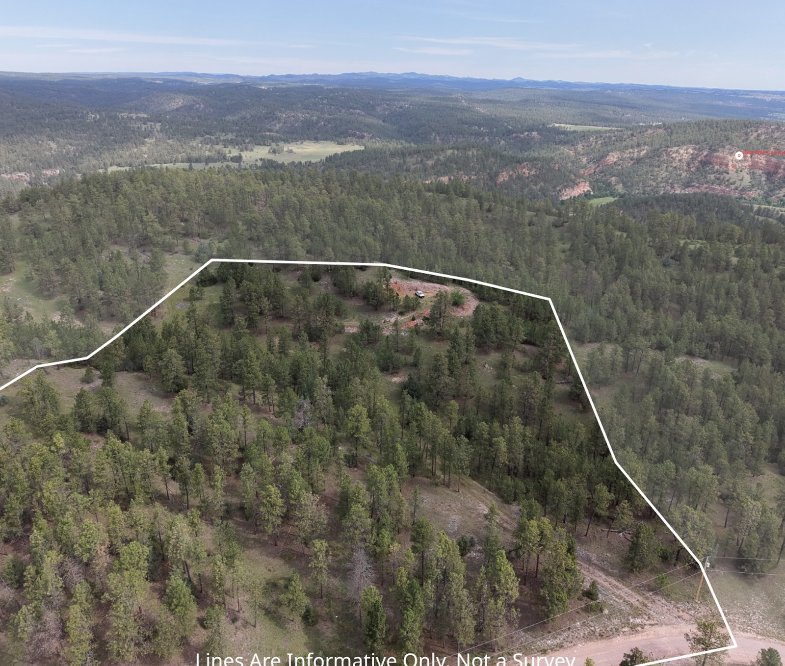
Drone photo of the Flagstone Drive property with its parcel boundary drawn on the image

Flagstone Drive

9.2 acres · Fall River County, SD · 37 frames

A wooded acreage listing with the boundary projected onto every photo, a full gallery, and the synced 3D view.

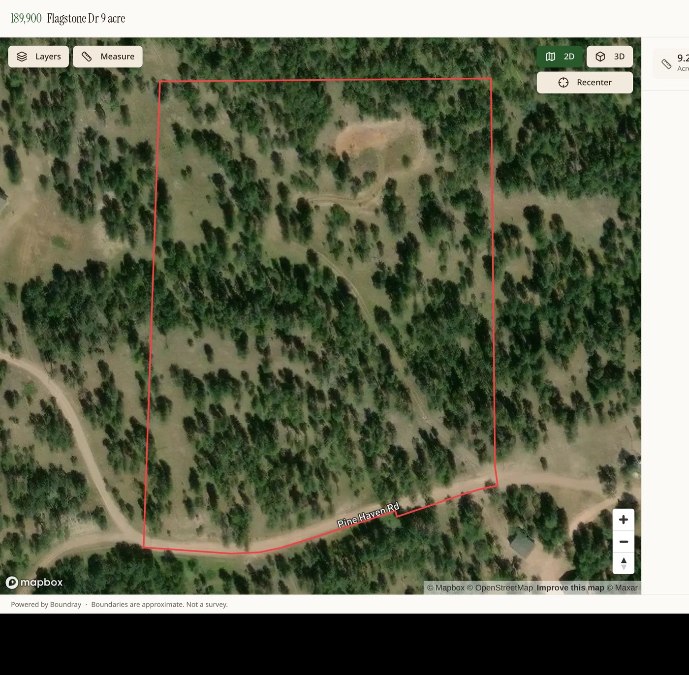
Boundray map view of a South Dakota parcel with the boundary highlighted

Pioneer Road

Pennington County, SD

Parcel picked straight from county GIS, published with overlays and measurement tools for buyers.

Photo and 3D, side by side

Every published photo can open next to a 3D terrain view aimed at the same spot the camera was, with the same boundary and the same overlays. It is the fastest way for a buyer who has never stood on the ground to understand what they are looking at.
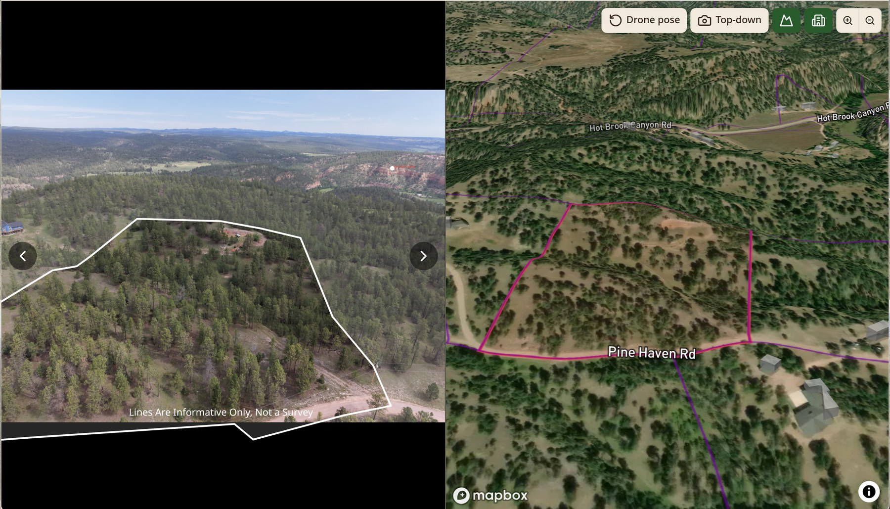
Boundray lightbox showing a boundary-marked drone photo beside a matching 3D terrain view with parcel overlays

Want one of these for your listing?